ReaL-Laurel-River
Real-Laurel-River
Visualizing the Laurel River Dam and Surrounding Terrain
Laurel County, Kentucky
This visualization highlights the terrain surrounding the Laurel River Dam in southeastern Kentucky using a hillshade technique. The project aims to demonstrate the elevation differences and structure of the land around the dam area, emphasizing how topography influences water flow and dam infrastructure.
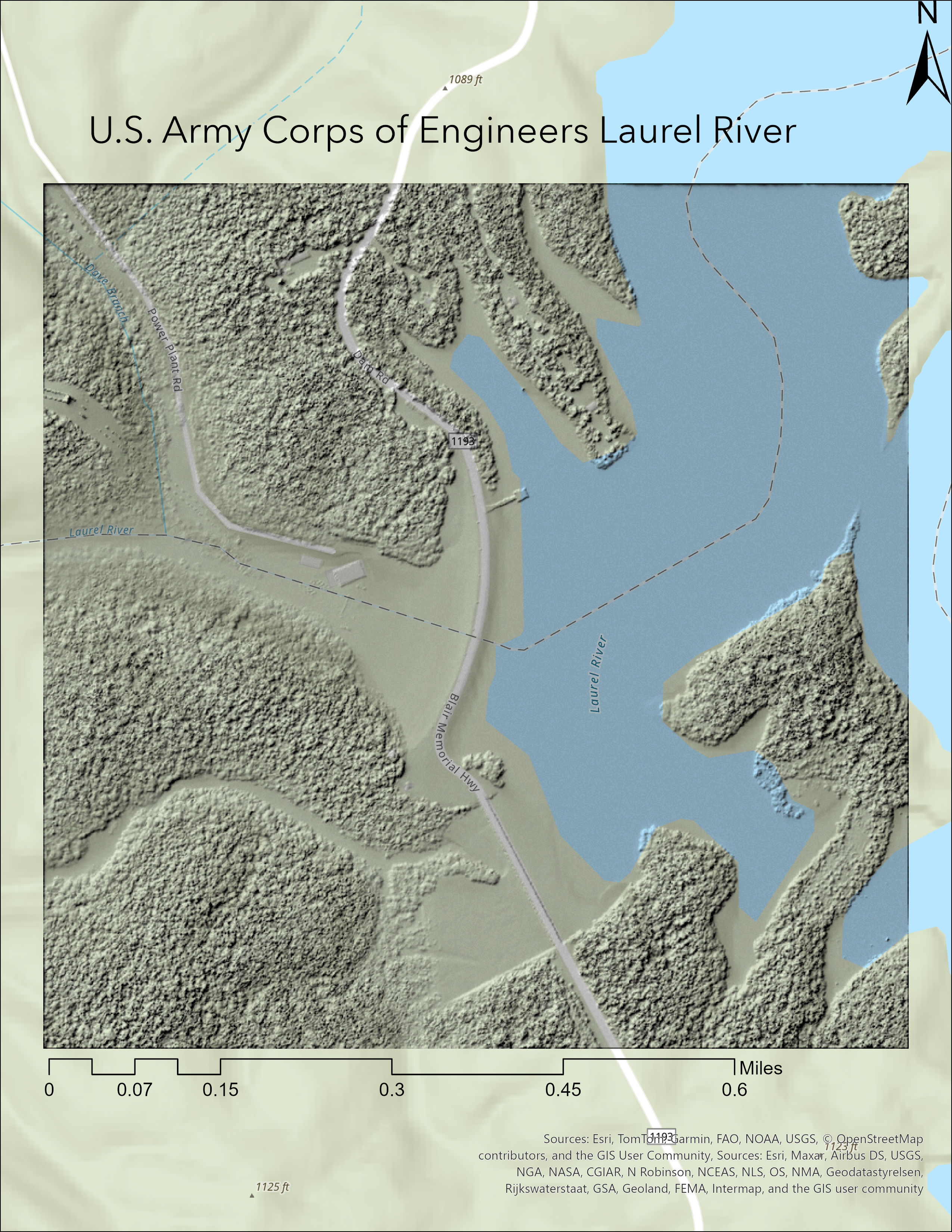
Hillshade visualization of terrain around Laurel River Dam
Click here for high-resolution map (PDF)
Additional resource: Laurel River Dam structure information on Structurae
Author: Brock Ittig
Data Sources: Elevation data from KYFromAbove, processed using ArcGIS Pro
Applications Used: ArcGIS Pro, VS Code, GitHub Pages
Date: April 21st 2025